Tornado and Severe Thunderstorm watches
For Tornado/severe thunderstorm watches,mesoscale discussions, convective outlooks and fire weather outlooks.
SPC - No watches are valid as of Fri Apr 19 08:52:02 UTC 2024
Link No watches are valid as of Fri Apr 19 08:52:02 UTC 2024.
SPC - No MDs are in effect as of Fri Apr 19 08:52:02 UTC 2024
Link No Mesoscale Discussions are in effect as of Fri Apr 19 08:52:02 UTC 2024.
SPC Apr 19, 2024 0600 UTC Day 1 Convective Outlook
Link SPC 1200Z Day 1 Outlook

Day 1 Convective Outlook
NWS Storm Prediction Center Norman OK
1245 AM CDT Fri Apr 19 2024

Valid 191200Z - 201200Z

...THERE IS A MARGINAL RISK OF SEVERE THUNDERSTORMS ACROSS PORTIONS
OF THE SOUTHEASTERN US...

...SUMMARY...
Sporadic strong to marginally severe storms are possible over parts
of the Southeast later today.

...Southeast...

Strong upper trough is forecast to advance from the upper MS Valley
into ON/MI by the end of the period as a 500mb speed max translates
from southern MN into the northern OH Valley. This evolution will
necessitate substantial height falls downstream across southeastern
Canada, extending into the upper OH Valley late. Southern extent of
this forcing will only glance the middle Appalachians and lower
latitudes will remain free of significant large-scale forcing
through Saturday morning. As a result, boundary-layer heating will
prove instrumental for convective development. While weak frontal
convergence and topographic influences will also prove beneficial,
convection is not expected to appreciably develop/intensify until
surface readings approach convective temperatures. Latest model
guidance suggests much of the southern Appalachians into coastal SC
will warm rapidly today. Negligible inhibition will be noted across
this region by early afternoon and isolated-scattered convection is
expected to develop near the frontal zone, across higher elevations
of the Appalachians. This activity will propagate toward the
Piedmont before weakening with loss of daytime heating.

...TX...

Surface front has progressed into the Arklatex, arcing across
central TX into extreme northern Mexico, northwest of DRT. This
boundary will likely advance farther southwest into the higher
terrain of northern Mexico where it will stall along the northeast
slopes of the Sierra Madre Oriental range. The primary corridor of
low-level convergence will be within upslope regions of the higher
terrain west of the international border. While the boundary layer
east of the Sierra Madre should remain a bit stable, convection will
develop  across the highest slopes then propagate southeast toward
the lower Rio Grande Valley. It's not entirely clear whether this
activity will maintain intensity as it spreads toward TX. At this
time will not introduce severe probabilities but this area may
warrant a MRGL risk in later outlooks if conditions become more
favorable.

Farther north during the overnight hours, weak low-level warm
advection will focus along a corridor from northwest TX into the Red
River region. Elevated convection is expected to develop across this
region as 850mb parcels are expected to be favorably moist/buoyant
for thunderstorm development. Given the lack of meaningful
large-scale forcing, there is some concern that updrafts may not be
as robust as otherwise possible. While some hail could be generated
with this activity, overall severe threat appears a bit too low to
warrant severe probabilities at this time.

..Darrow/Weinman.. 04/19/2024
Read more
SPC Apr 19, 2024 0600 UTC Day 2 Convective Outlook
Link SPC 0600Z Day 2 Outlook

Day 2 Convective Outlook CORR 1
NWS Storm Prediction Center Norman OK
0241 AM CDT Fri Apr 19 2024

Valid 201200Z - 211200Z

...THERE IS A MARGINAL RISK OF SEVERE THUNDERSTORMS ACROSS PARTS OF
SOUTH-CENTRAL AND SOUTHEAST TEXAS...

CORRECTED FOR REVERSED THUNDER LINES

...SUMMARY...
Marginally severe storms capable of strong wind gusts and hail will
be possible on Saturday across parts of south-central and southeast
Texas.

...South-central and Southeast Texas...
A shortwave trough will move toward the southern Plains on Saturday,
as zonal flow remains in place across much of the Gulf Coast region.
At the surface, a quasi-stationary front is forecast to be located
across south-central and southeast Texas. South of this boundary, a
moist airmass will be in place with surface dewpoints in the 60s F.
Surface heating will result in destabilization across this airmass
during the day. As instability peaks during the afternoon, and as
low-level convergence increases along and near the front, scattered
thunderstorm development is expected. ECMWF forecast soundings in
south-central Texas during the late afternoon suggest that MLCAPE
will peak near 1200 J/kg, and that 0-6 km shear will be around 40
knots. This would be favorable for an isolated severe threat. The
stronger storms could be associated with isolated damaging wind
gusts and hail. However, limited large-scale ascent and poor lapse
rates will likely keep any severe threat marginal.

..Broyles.. 04/19/2024
Read more
SPC Apr 19, 2024 0730 UTC Day 3 Severe Thunderstorm Outlook
Link SPC 0730Z Day 3 Outlook

Day 3 Convective Outlook
NWS Storm Prediction Center Norman OK
0230 AM CDT Fri Apr 19 2024

Valid 211200Z - 221200Z

...NO SEVERE THUNDERSTORM AREAS FORECAST...

...SUMMARY...
Isolated thunderstorms will be possible on Sunday across parts of
the Gulf Coast region, but no severe threat is expected.

...DISCUSSION...
An upper-level trough is forecast to move across the central Gulf
Coast states on Sunday, as a cold front moves from the coastal areas
into the northern Gulf of Mexico. Isolated thunderstorms may develop
near the front early in the day. Other post-frontal storms may
develop in parts of the Gulf Coast states during the afternoon.
Instability across the Gulf Coast is expected to be very weak
limiting any potential for severe storms.

..Broyles.. 04/19/2024
Read more
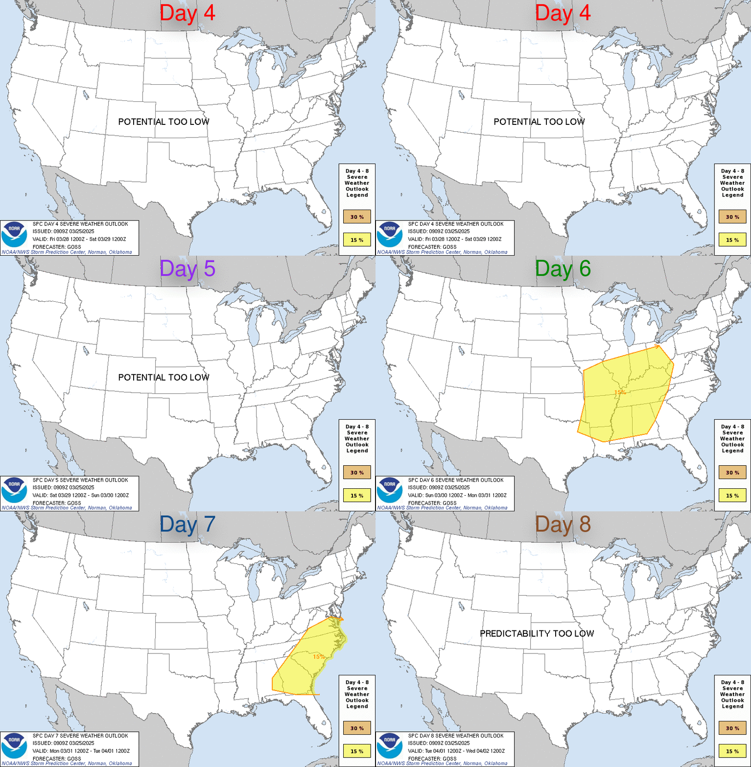
SPC Apr 19, 2024 Day 4-8 Severe Weather Outlook
Link Day 4-8 Outlook

Day 4-8 Convective Outlook
NWS Storm Prediction Center Norman OK
0349 AM CDT Fri Apr 19 2024

Valid 221200Z - 271200Z

...DISCUSSION...
...Monday/Day 4 and Tuesday/Day 5...
Surface high pressure is forecast to move across the Southeast on
Monday and Tuesday. As a result, a dry and cool airmass is expected
to limit severe potential across the continental U.S.

...Wednesday/Day 6 to Friday/Day 8...
Low-level moisture is forecast to return northward into the Southern
Plains and Ark-La-Tex from Wednesday into Wednesday night, as a
low-level jet develops across the Great Plains. Within the warm
advection regime, isolated strong thunderstorm development could
take place. A hail threat would be possible in parts of the southern
and central Plains, as the low-level jet strengthens and instability
increases Wednesday night.

On Thursday and Friday, the medium-range models develop a
large-scale upper-level trough over the southwestern U.S. Some
solutions eject a lead shortwave across the central U.S. on Thursday
and Thursday night. Ahead of this feature, significant moisture
return is forecast, and it appears that moderate instability will be
in place across much of the southern and central Plains. Strong to
severe thunderstorms could develop to the east of a dryline across
parts of Texas, Oklahoma and Kansas.

Some model solutions suggest that a second shortwave trough will
move across the southern Plains on Friday. This would continue a
potential for severe storms Friday into Friday night from the
southern Plains into the lower to mid Missouri Valley. In spite of a
potential for severe storms late in the Day 4 to 8 period,
predictability remains low. This is especially true on Friday due a
relatively large spread among the model solutions.
Read more
SPC Day 1 Fire Weather Outlook
Link SPC Day 1 Fire Weather Outlook

Day 1 Fire Weather Outlook
NWS Storm Prediction Center Norman OK
0123 AM CDT Fri Apr 19 2024

Valid 191200Z - 201200Z

...NO CRITICAL AREAS...

...Synopsis...
A weak/low-amplitude southern-stream trough will track eastward
across the Southwest, encouraging breezy/gusty southwesterly winds
amid a dry/deeply mixed boundary layer across the region. While
elevated meteorological conditions are likely across portions of
eastern AZ and western NM during the afternoon, marginal fuels
should keep the fire-weather threat fairly localized -- precluding
highlights at this time. Elsewhere across the CONUS, a limited
overlap of warm/dry/breezy conditions will limit fire-weather
concerns.

..Weinman.. 04/19/2024

...Please see www.spc.noaa.gov/fire for graphic product...
Read more
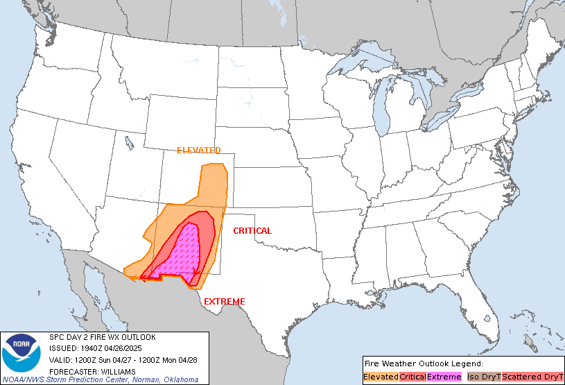
SPC Day 2 Fire Weather Outlook
Link SPC Day 2 Fire Weather Outlook

Day 2 Fire Weather Outlook
NWS Storm Prediction Center Norman OK
0124 AM CDT Fri Apr 19 2024

Valid 201200Z - 211200Z

...NO CRITICAL AREAS...

...Synopsis...
An expansive post-frontal air mass, characterized by cool surface
temperatures and weak surface winds, will encompass much of the
central and eastern CONUS, limiting fire-weather concerns. Dry
conditions will persist over the Southwest, though weak surface
winds and marginal fuels will also limit fire-weather potential
here.

..Weinman.. 04/19/2024

...Please see www.spc.noaa.gov/fire for graphic product...
Read more


